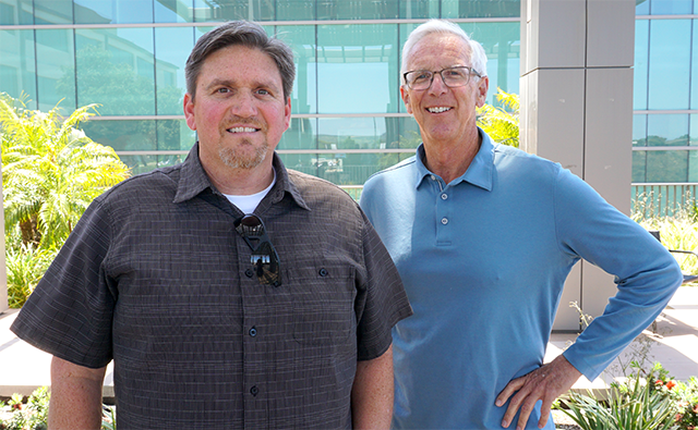
From NASA to ZIP Launchpad

CAL Geography Staff and Researchers Develop Innovative Software for Remote Sensing
I completed a master’s degree and began working as a full-time researcher with Professor Doug Stow in 1998. This began my 25-year career as a technical analyst in CAL’s Department of Geography, with early emphasis on remote sensing which enables study of earth using satellite and aerial imagery.
Much of the funding at that time came from the National Aeronautics and Space Administration (NASA), which was interested in transitioning government-funded remote sensing technology into commercial applications in order to spur innovation and the U.S. economy. One NASA program funded the evaluation of remote sensing-based methods for monitoring southern California habitat reserves, and work on this program in the early 2000s started a line of research that continues today.
Everyone is familiar with imagery products from Google, Bing, and similar streaming services. Circa 2000, our research team was capturing multispectral aerial images of Mission Trails Regional Park and looking for habitat-related land cover changes, but had difficulty properly aligning images over time. This was because terrain distortions present in the aerial images couldn’t be corrected properly based on available, supporting terrain data.
The team tested a novel technique for aligning images over time, by matching the camera viewing position (through GPS-based airplane navigation and camera triggering) and aligning aerial images on a frame-by-frame basis. This is similar to aligning image frames from a fixed-mounted video camera over time, where one image in the sequence will stack on top of the next. The team found that the aerial images precisely aligned like video frames when using the technique (now referred to as repeat station imaging, or RSI).
Additional research during the following 20 years and roughly 30 publications supported the initial findings, for use cases ranging from habitat monitoring to border monitoring to infrastructure monitoring with drones.
PI Stow and I were encouraged by the performance and simplicity of the approach for rapid, automated, and precise alignment of aerial images for change detection, and began efforts to make a software product commercially available for others to use. Part of the process included applying for and receiving patents through the SDSU Technology Transfer Office (TTO), in anticipation that these patents would support a healthy business down the road.
Following the convergence of a range of drone, computing, GPS, and other supporting technologies, ChangeAerial LLC was developed by the team of me, Stow, and Andrew Loerch (former geography doctoral student). ChangeAerial won funding through the SDSU TTO Pilot Innovation Fund and built software supporting flight planning, RSI image collection, automated alignment of image frames over time, as well as visual and automated change detection capabilities. The software is designed to support rapid inspection and post-hazard damage assessment of infrastructure.
ChangeAerial hasn’t yet generated revenue and has been more of a “hobby and a hypothesis” rather than a business. However, team members are receiving support from SDSU’s business incubator ZIP Launchpad to develop a viable business.
ZIP Launchpad helps SDSU students, faculty, and staff transition ideas, research, and technology into commercially available products that benefit society. It also provides several resources, including tools and work spaces for prototype development, mentorship and guidance from entrepreneurs and executives, pro bono legal guidance, access to investors, and small grants.
The ChangeAerial team thinks that the use of RSI with enterprise-grade drones and the developed software tools could revolutionize the inspection of electric utility towers and poles. Automated imaging with RSI will enable aerial inspection images from drones to be captured more frequently and at lower cost, and to be analyzed in an automated fashion to identify defects that may need repair.
While current automation approaches use machine learning algorithms that require extensive training and only function on a limited number of anticipated defects, the RSI multitemporal change detection approach requires minimal training and is expected to successfully detect a much wider range of defects needing attention. However, testing and validation is ongoing.
Beyond electric utility inspection, the RSI approach will benefit private sector and government inspection of such things as bridges, highways, dams, and wind turbines, as well as detailed construction documentation.
I currently provide geospatial support to the campus and have learned that there is interest in evaluating drones for rapid post-hazard damage assessment of SDSU facilities. This would entail collection of baseline, pre-hazard drone imagery and then automated repeat footage by the drone in the event of a disaster. RSI image collection and rapid analysis with the developed software tools is ideally suited for this application, and will be tested in the near future.
